ENG:
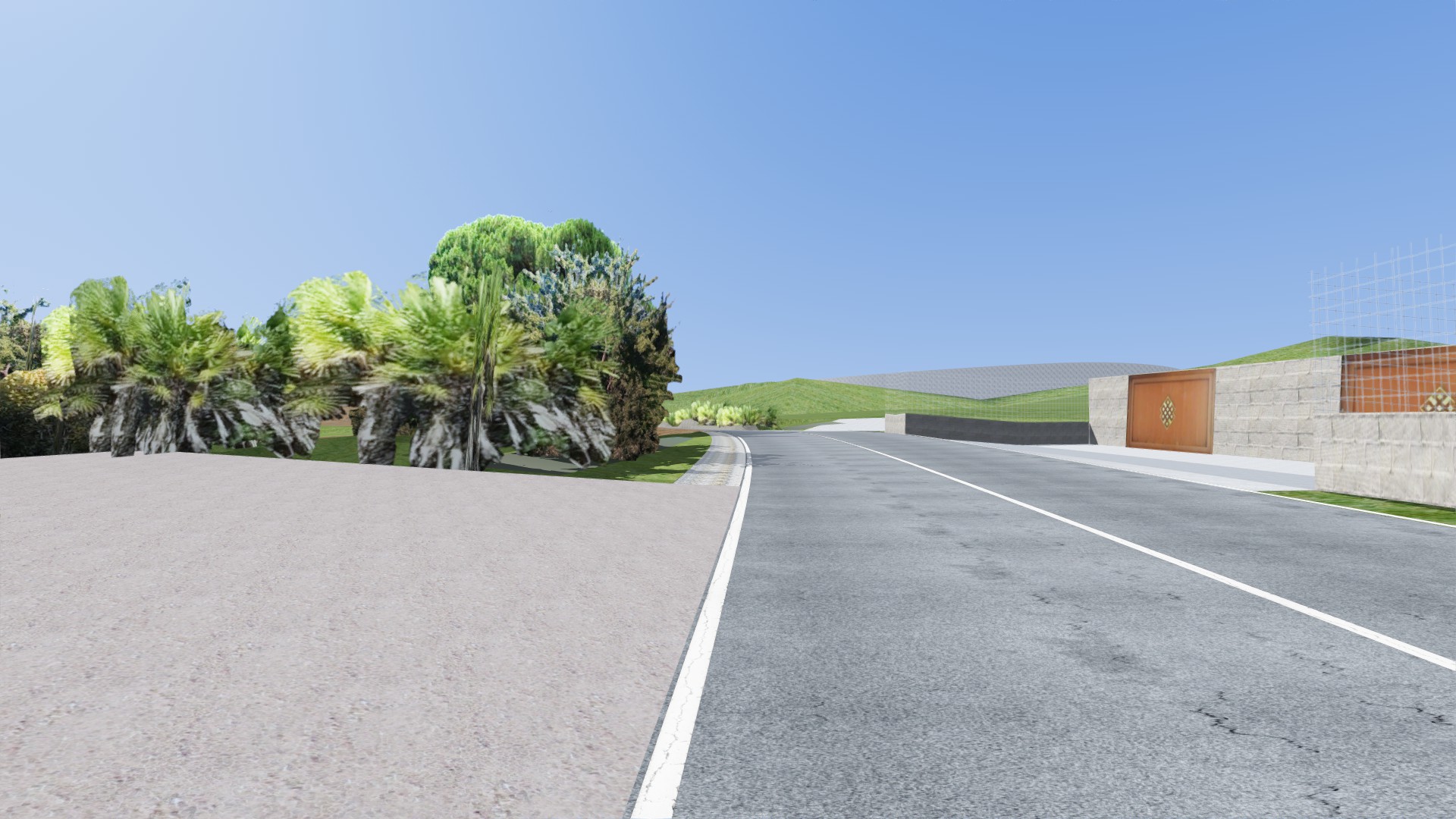
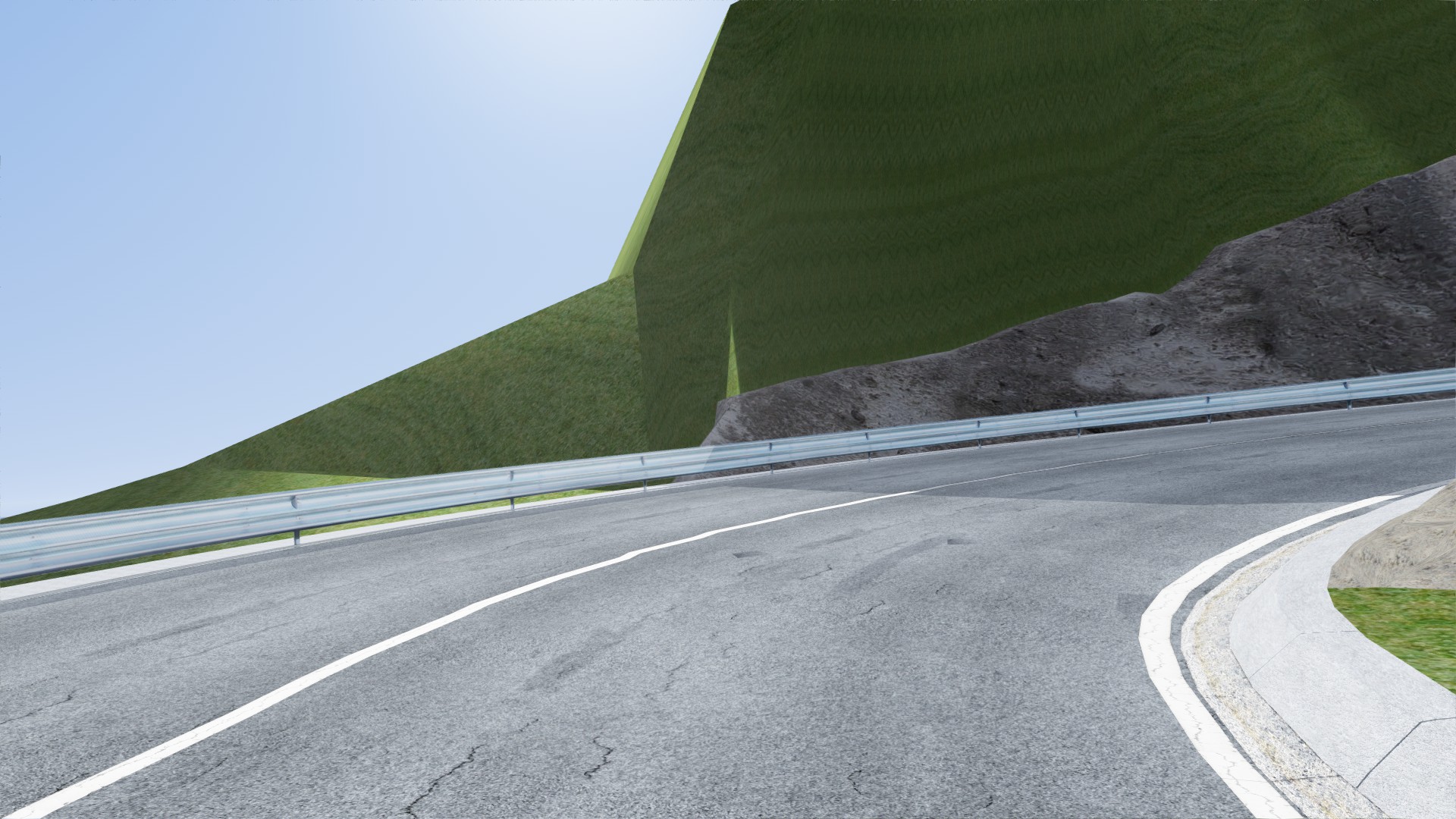
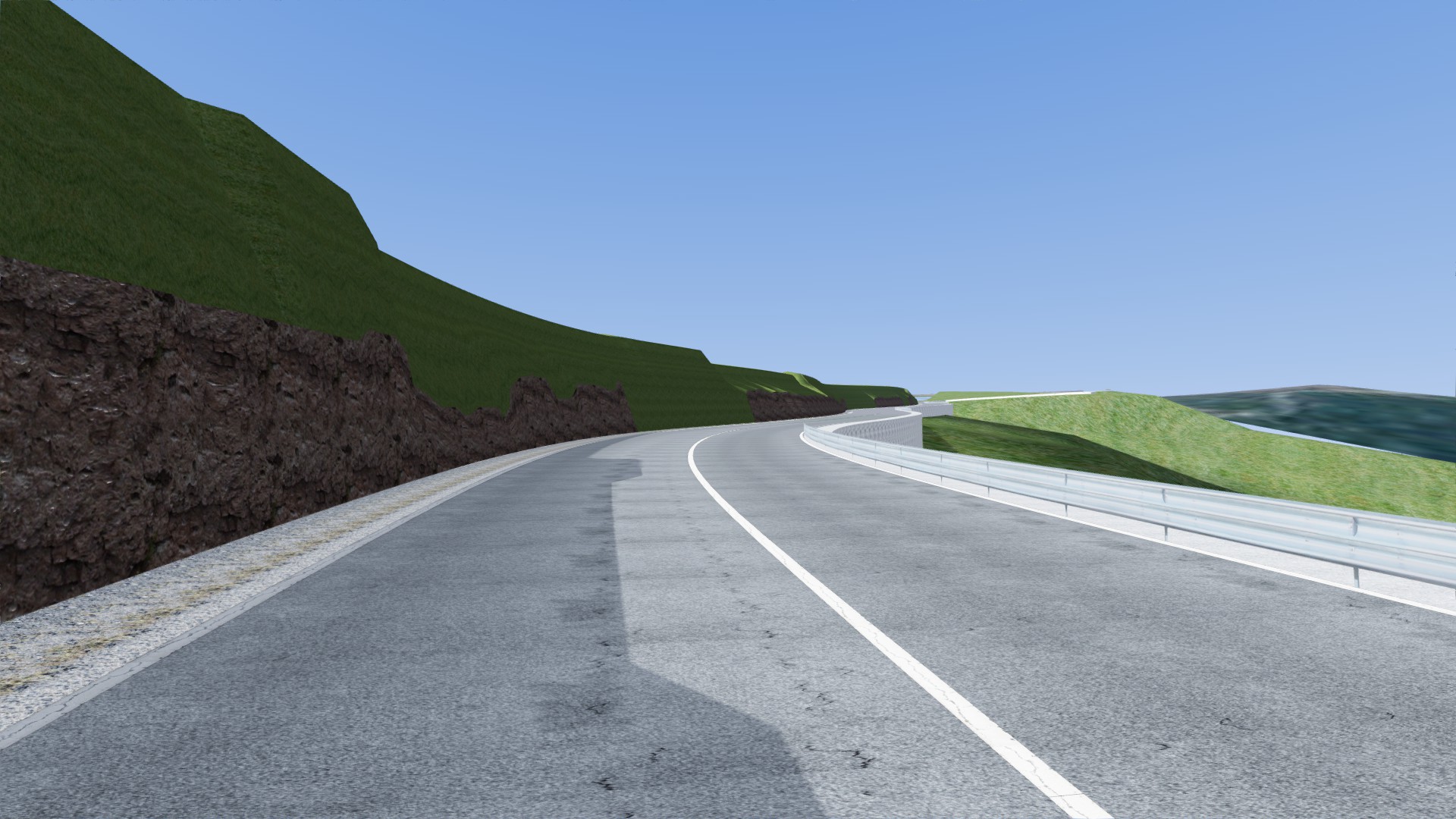
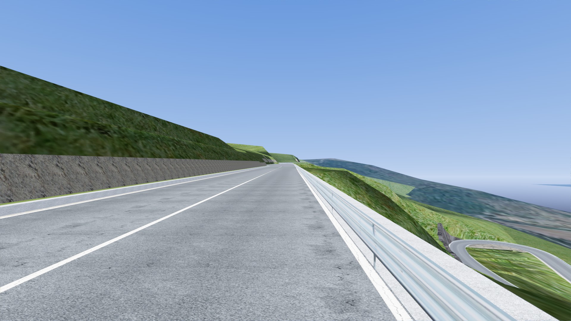
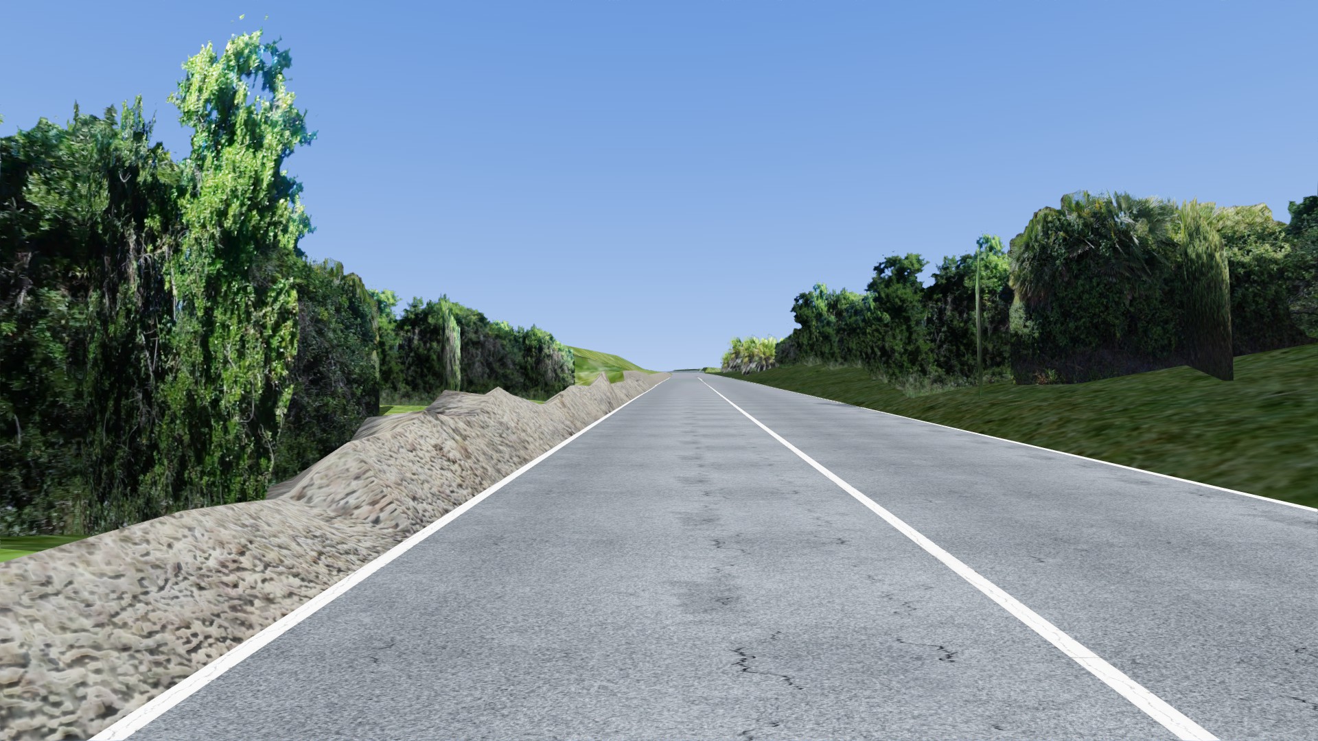
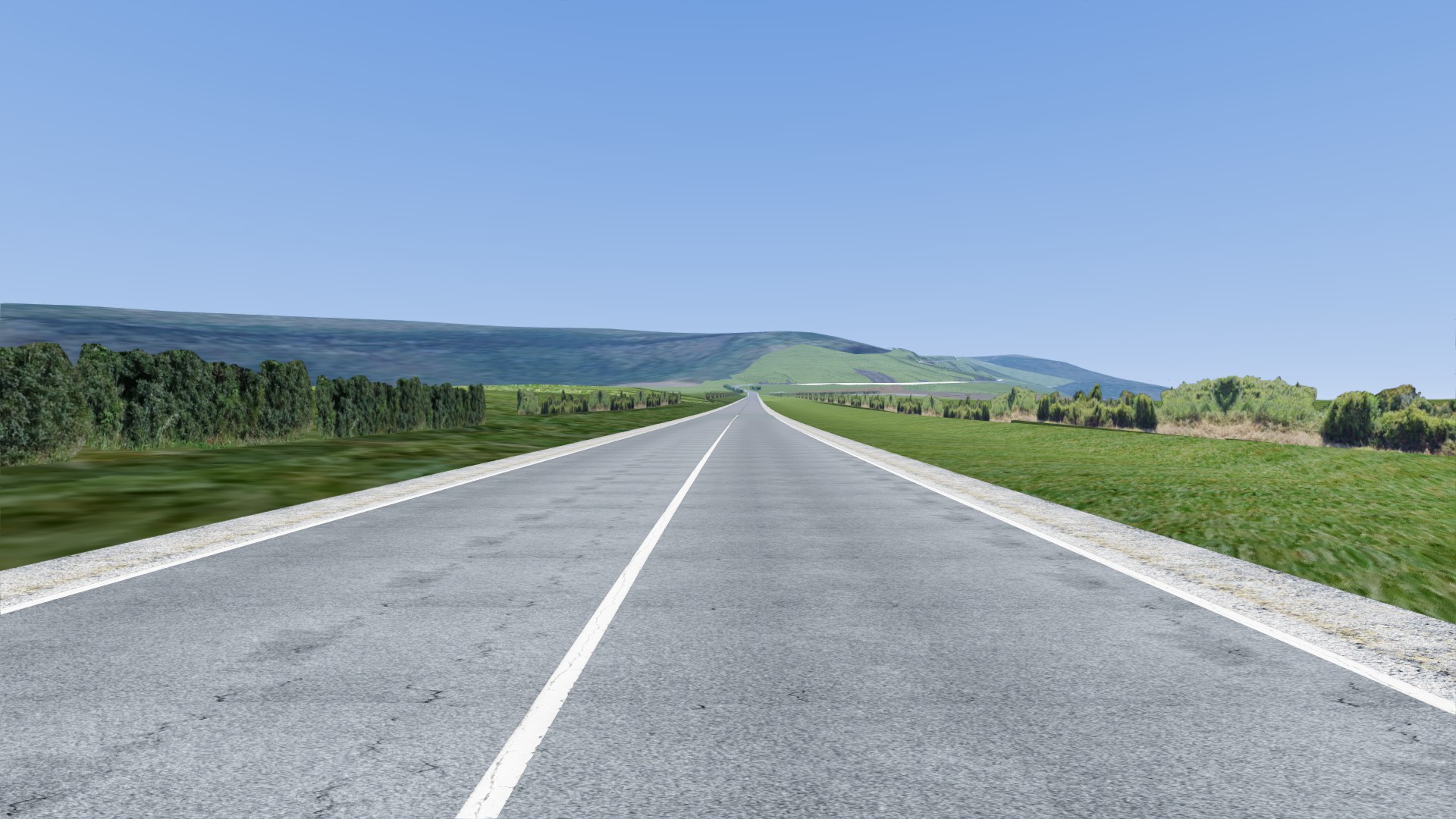
Hillclimb Alghero – Scala Piccada. It’s an italian real track, a race of the italian mountain race cup.
Location: Alghero (SS), Sardegna, Italia.
Road lenght: 5,1 km
Road width: 6 m
Made with Blender, starting from altimetric and cartographic GIS data. I don’t own advanced laserscan instruments, but I did all my best. I made all textures by myself and I edited them with Gimp.
My idea started in 2020. I started working on it in 2022, but the real work time is about 4-5 months.
Features in 0.1 version (W.I.P.):
it’s a still incomplete version. There are: road, guardrails, natural elements near the road (trees, bushes, grass, soil, rocks), some artificial elements (walls, curbs, lay-by, secundary roads…), map of the track.
Let’s try it and tell me your impressions, your matters, your suggestions to improve it! I think it works fine, but in case of matters please send me the error “log” file instead of writing a negative feedback.
In the next versions there’ll be:
-external cameras;
-ideal driving line and IA;
-road signs;
-signs and others race elements: starting and finish lines, signs with distance, sponsors, spectators;
-further trees and bushes;
-roadhouse of “Scala Piccada” and some other country house;
-corner names;
-various little stuffs;
-improvement of the existing elements.
——————————————————————-
ITA:
Cronoscalata Alghero – Scala Piccada. Percorso di montagna, gara valevole per il trofeo italiano velocità montagna.
Località: Alghero (SS), Sardegna, Italia.
Lunghezza del percorso: 5,1 km
Larghezza della sede stradale: 6 m
Realizzata con Blender a partire dai dati altimetrici e cartografici GIS. Non ho sofisticati strumenti laserscan, ma ho fatto del mio meglio con gli strumenti a mia disposizione. Ho fatto io tutte le textures e le ho elaborate con Gimp.
Tempo effettivo di lavoro: circa 4-5 mesi. L’idea risale al 2020, ma ho iniziato a lavoraci solo nel 2022, con diverse lunghe pause.
Caratteristiche della versione 0.1:
è una versione ancora incompleta, dotata di: sede stradale, guard rails, elementi naturali a bordo strada (alberi, cespugli, erba, terra, rocce), alcuni elementi artificiali (muretti, cordoli, piazzole di sosta, imbocchi secondari), mappa del percorso.
Provatela e ditemi come mi sembra, comunicatemi eventuali problemi o malfunzionamenti ed eventuali suggerimenti per migliorarla. Penso che funzioni bene, ma incaso di problemi per favore mandatemi il file “log” dell’errore piuttosto che mettere una recensione negativa.
Nelle prossime versioni saranno via via inseriti:
-telecamere esterne;
-traiettoria ideale e IA;
-segnaletica stradale;
-segnali ed altri elementi di gara: linee di partenza e di arrivo, cartelli distanziometrici, sponsor, spettatori;
-ulteriori alberi e cespugli;
-casa cantoniera Scala Piccada e altre case di campagna;
-nomi delle curve;
-vari piccoli dettagli;
-perfezionamento degli elementi già esistenti.
Credits:
corracar
Downloads
| Name | Format | Size |
|---|---|---|
| scalapiccada.zip | ZIP | 49.66 MB |
To start download click the filename. To open archive files use one of these programs: WinRAR, 7-Zip, WinZip. Some mod archives may need to be extracted before the mods will work.